Monday, 25 June 2018

Tewkesbury Abbey Club Site, Gloucestershire

We slept late this morning, a real treat, athough it did make for a delayed departure. The plan for today was to take us about sixty miles west of our camp, to the far north west corner of Herefordshire, straddling the border between England and Wales.

We travelled in part on the South Wales motorway, the M50, before turning easterly near Ross-on-Wye, on to minor roads, zigzagging through narrow hedgeways, south then north again at Pontrilas up the  River Dore through the Golden Valley, past the Abbey Dore, surely a relationship between “Dore”, “d’or” and “gold’, although none has been offered us.

The rural landscape was beautiful, although more frequently than not, shielded from view by the high roadside hedges. To the west the outline of the Black Mountains were clear; we were on the north eastern edge of the Brecon Beacons National Park. Soon we arrived at Hay-on-Wye, best known for the annual Hay Festival of Literature and Arts held every May, which has grown out of the special nature of the town, or that attributed by the “King of Hay”, Richard Booth.

In the very early sixties, Hay-on-Wye was fading away, the way that so many once vibrant rural settlements have gone over the past one hundred years or more. Rather than turn to the government for some sort of regeneration programme, Richard Booth decided that his town needed a brand, something quirky to draw business and population. He opened his first secondhand bookshop in 1961, and attracted others of the same ilk to set up in the town, turning it into the greatest market in  the world for used books. Today Booth’s own shop holds over 200,000 titles although only 10,000 or so are catalogued on his website. The books in this and all the bookshops we called into are wonderfully catalogued and one could spend weeks in any one of these amazing stores.

In 1977, Booth declared Hay independent and himself “king”, a bit like the Republic of Whangamomona in New Zealand; another way to promote the place and draw outside funds into an area. These days Richard Booth, while still well respected in the community, keeps a lower profile, not even managing to have himself elected when he stood for the Wales constituency at the Eurpopean Parliament election in 2009.

We parked up near the library, that alone cause for amusement; the fact that Hay would need a library. We then spent more than two hours wandering about, the streets crowded onto a mound above the River Wye. We checked out the remains of the castle, the remains of a 17th century mansion house, very little left but undergoing major renovation. The original was built as part of the Norman invasion in either the late 11th or early 12th centuries, rebuilt about one hundred years later, then surviving through the ages in various states of dereliction. The castle was more latterly owned by Booth, all part of his regal image, however was sold in about 2011 for about two million pounds to the Hay Castle Trust who have grand plans to renovate the property to form an arts and education centre, although it appears little has been done in the interim.  

We lunched down by the river after checking the activity below the bridge. Several canoes about suggested that the advertised canoe hire business was alive and well, but it was the walk explained on an interpretative board that caught our attention. The Wye Valley Walk is a long distance trail following the river for 136 miles from Plylimon, near its source, all the way to Chepstow at the head of the Severn Estuary.

Here in Hay we found all the signs, and instructions on the complex parking machine, to be first in Welsh, then in English. Our guide book suggests that most of the population of the town these days are imports rather than the “natives” whose future Booth was trying to save, however whoever these folk are, they were all kept busy today catering for the hundreds and hundreds of visitors, devouring the books, the cream teas and pub lunches. We were delighted we had travelled so far to explore this curious small town for ourselves.

The whole tour itinerary for the day had many bullet points, Hay-on-Wye only one of them, however time was against us and the day was very hot, the temperatures in this part of the world this week tipped to reach 30 degrees Centigrade. 

We turned back eastwards, travelling another route, back through the wide Wye Valley, descending through beautiful farmland. Five miles west of Hereford, we came upon the sign for “The Weir”, a National Trust property marked by that minute oak leaf symbol on our map. We imagined we were to see a weir on the Wye, and having already discovered the river to be so beautiful, thought it would add to our impression. 

The Weir is no more, but the Weir Gardens are what the people come to see. Back in 2005 ITV’s Time Team did some excavation on the property and confirmed that there was once a large Roman building and two butresses, support for a terrace overlooking the river, here. A mosaic floor was also uncovered. This wasn’t the first time any one had poked about with archeological hats on, but these more sophisticated efforts proved the initial findings had been correct.


More recent historical records show the property belonged to a Smyth family, finally falling to a son-in-law, Timothy Markham, in 1765. He had grand designs for the property and built a second residence, The New Weir. Alas he overstretched his budget and ran into financial strife, forced to sell the new build and move back into the old.  It wasn’t until the 1920s the two properties were reunited by Roger Charlton Parr after a succession of other owners. The gardens we walked through today can be credited to Parr, and it was him who left The Weir Estate and Garden to the National Trust in 1959 on his deathbed, with provison for a lifetime tenancy to Victor Morris. Morris died in 1985 and very soon after the house was repaired and converted for use as a residential nursing home.

Today there were a number of folk enjoying the sunshine and shade, both on offer beside the river under the trees or out in the garden. On the opposite bank were a couple of fishermen trying their luck to catch the hundreds of fish visible from our vantage point. Our brochure advised that the biggest fish to be caught at The Weir Garden was in 1846, a royal sturgeon weighing 182 pounds and was 8 foot 6 inches long. Perhaps there have been other monsters since and left unrecorded especially if they were illegally take home for the plate. 

Despite the hour, we also checked out the walled garden where two volunteers were slaving away in the burning sun, planting and hoeing and doing all things that gardeners do. We returned to the car and pressed on to Hereford.

Hereford was long a border garrison town held against the Welsh and also became a religious centre after the Welsh murdered the Saxon king Ethelbert  near here in 794. Murder was pretty common in those days but it was the apearance of his ghost and determination to be buried here in Hereford that caused a cult to grow up around the legend and prompt the building of the town’s first cathedral. 

Unlike many other such establishments, this one did not start monastically.  Although the diocese of Hereford was founded in the late 7th century, the present cathedral was  built in the 12th century after an earlier building was destroyed by a rebel army in 1055. Much of the romanesque building survives, but it has been changed and enlarged over the centuries.
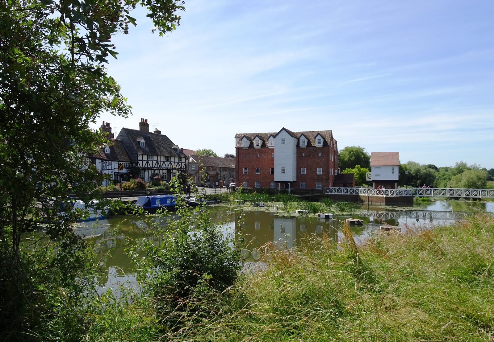
We wandered about here for a while before walking down to the river. We had hoped to walk along the bank however the path was not immediately evident, so we returned to the centre of the town, a tangle of narrow streets and lanes and alleys. The longer we explored, the more we liked the place, and realised we should have allowed ourselves much more time.


Sunday, 24 June 2018

Tewkesbury Abbey Club Site, Gloucestershire


We are now settled into our next club site, this the Caravan & Motorhome Club, and enjoying the brand new facilities. The camp is packed out, all 136 camping sites occupied, here more likely to be British rather than the mix of foreign tourists and British campers to be found at the Camping & Caravan Club site in Salisbury. From our corner of the park, we can see the tower of the Cathedral and enjoy the birdlife in the high hedge immediately behind us.

Our last day in Salisbury was spent revisiting the iconic tourist attraction of the county; Stonehenge. Were we crows we could have flown a six and a half mile straight line to the visitor centre, although by road it is somewhat longer. We arrived at about 10 am; the sun was shining, the wind had abated from the previous day and the crowds were already gathering with the car park over half full.

During the course of our visit, we were reminded that the centre has only been opened for four years, so it must have been very new when we last came. We were also reminded that the standing stones have only been fenced off in the manner they are today since 1968, which accounts for the fact that Chris remembers his early visits being very much a hands on affair.

I am sure I wrote at great length about this heritage site when we called in 2015, so shall not repeat the wonders of it all here, except to say that today we walked the mile and a bit up to the Stones rather than catching the shuttle. We then joined the long queues of tourists weaving their way around the circular path that keeps away would-be vandals,  and were glad of the sunny warm day, so different to that three years ago.

We had passed by the entrance to Stonehenge just two days ago and seen that the site was to close early that day and remain so the following; Thursday was the summer solstice and of great significance to spiritual oddballs. I was surprised to learn that the 9,500 folk who stayed overnight on Wednesday to see in the sunset the next morning were able to mingle amongst the Stones, the barriers for tourists removed. Perhaps we should have parked up ourselves and joined them; there was no cost for doing so, although the thought of sleeping in a car does not appeal these days.

The museum delighted us as much as it did last time, and for now there is an excellent exhibition titled “Feast” which reveals what the builders of Stonehenge cooked and ate. Even more interesting than displays of the food types are the explanations of how scientists have arrived at this wealth of information. 

We had considered driving back into Salisbury to check out the Cathedral, however The Chauffeur was not wanting to risk the traffic jams of the late afternoon, so in the end we limited our further activities to refuelling at the Tesco Extra in readiness for our departure the next day. Back at camp we sat about watching our fellow campers sitting about; we inside the van and they out in the hot sun in various states of undress.

We drove up yesterday, a trip of more than eighty miles, on a route selected for the colour of routes on the map rather than the most direct. We passed through Amesbury, then a short distance across on the A303, then turned north up the A338 through Tidworth, one of the many defence settlements on the Salisbury Plain, on up through Marlborough,  Swindon and Cirencester on the A417 & A419, joining the M5 east of Gloucester then travelling the last ten miles or so on excellent road before turning west again and coming on into Tewkesbury. Most of the road had been appalling, the surface bumpy and causing even the best packed items to jump about in the caravan. Unfortunately there is no really good service centre along the route we took; we ended up hanging about in a spot best suited to refuelling than anything else, close to Cirencester, and should have kept our lunch time to a minimun, because when we arrived at the camp, the available spots were limited and we settled for a spot further from the amenities block than we normally prefer. But we do have views of the cathedral and those birds I mentioned!

On check-in we remarked on the crowds in the streets as we had come through the town and were told about the famous annual steam rally that is being held here this weekend. That accounted for the procession of small steam powered contraptions that made their way around the camp circuit mid-afternoon, delighting most, and annoying some, including an extremely irate camper whose exit was hampered by the slow moving traffic. His performance was as distracting as the procession itself.

Today has been more about armchair sports than touring. The Chauffeur was keen to watch the the British soccer team slaughter Panama in their second World Cup game, and then to watch the final  of the Queen’s tennis tournament, all of this on top of keeping up with the political current affairs televised soon after breakfast. Admittedly if we were here in England for just a few weeks of touring, I would have put my foot down and insisted television was for night time only, but it is a touring life we have, not a holiday tour.

After Andrew Marr had wound up the week’s politics, we headed out into Tewkesbury on foot, up through the High Street in search of the Tesco Metro to buy fresh bread for lunch, then over to the river and canal system where we wandered along the edge, admiring the boats and views.

Records as early as 1407 show Tewkesbury as an inland port, the rivers here providing the main method of moving goods around. Up until 1580, Bristol controlled all of Tewkesbury’s water-borne trade, but in that year, Elizabeth I granted Tewkesbury the status of “port” allowing the collection of customs duties. Tewkesbury boats accounted for up to half of the cargo passing through Gloucester in 1600 and many folk earned their living through the boating industry.

The Avon (and bear in mind that we are referring to the Avon that passes through Stratford-upon-Avon here as opposed to the River Avon which flows through Ringwood, the New Forest and into the Solent at Christchurch) first became navigable to Evesham in the early 1630s and Stratford some years later. 

The Severn was declared a free river at Tewkesbury by Henry VI and remained so until 1842 when an agreement to improve navigation was secured. However, early canalisation efforts had disastrous effects on water levels, emptying the basin and leaving Tewkesbury Quay high and dry. Interestingly we watched a televison programme just last night about the engineering aspects of canals and it was this very matter of controlling reservoirs of water to replenish the flow of canals that particulary caught my attention.

Only in 1858, when the Lower Lode lock was built, was water borne trading  restored to the quay. The new lock, the largest in England at that time, and its weir removed twenty one acres from the Ham, the “island” lying in the midst of the river and canal system which we traversed in part today. Of course in the end, the viability of the canal went the way of all other canals, with rail becoming so much more viable economically.

Tewkesbury also has a long history of boatbuilding, the first mention is in 1401 when the town was ordered to provide a boat for Henry IV’s navy. In 1558, when Elizabeth I came to the throne, there is evidence of an order for a 25 ton pinnace and thirty years later, the Queen required Tewkesbury and Glouceseter to finance a manned ship of 80 tons in anticipation of the Spanish Armada. Boat building continued through the centuries even beyond World War II,  but these days the housing of leisure craft at one of the largest inland marinas in the country has taken its place.

The Severn Ham is today a Site of Special Scientific Interest and part of a conservation area. It is periodically and naturally flooded by the surrounding rivers: the Severn, Avon and Swilgate, and it is the silt brought down by these rivers and deposited here that makes it so fertile and a haven for wildlife.

The Ham became an island about a thousand years ago when the Abbey Monks , or maybe their underlings, dug the Mill Avon. This was a man-made channel off the main river possibly for defence and to provide a water source to power mills where the Abbey Mill now stands. The Ham was once owned by the Abbey, then for many centuries by the local landed and political elite. Today it is owned by the Town Council and falls within strict environmental guidelines.

Interestingly horse racing was held here on this sacred site from early in the 1700s. But the NIMBYs were about even then and the pure and righteous clergy were part of the opposition that rose against such evil practices, one such a sermon in 1827 entitled “The Evil Consequences of the Race Course”. And still there are voices raised against gambling and sports events; nothing really changes. 

Back home, we devoured the French loaf which had spent at least an hour with us touring, poking up out of the backpack.  Then Chris settled down for an afternoon of great excitement, I prepared dinner then set off on foot by myself to retrace part of our morning’s route and venture into the Abbey which had earlier been occupied by devout Christians and out of bounds to heathens.

This afternoon it was open to all comers and what a lovely church it is, this St Mary the Virgin, which the town's people saved from destruction during the Dissolution of the Monastries, by raising £453 in 1539 to buy the church from Henry VIII to keep it for the parish. It has the largest Norman tower still in existence, 46 feet square and 148 feet high. The organ is also significant in being one of the oldest still in use in Britain, with its pipework dating from 1610.

The abbey dates from 1092 although monastic cells had been here since 715. Apart from Dissolution, the Abbey and Tewkesbury has also survived the nineteen year Anarchy beginning in 1135 over the succession squabbles of Henry I’s daughter, Matilda and her cousin, Stephen, then in 1471, the Battle of Tewkesbury in the War of Roses and again Tewkesbury played its part in the Civil War between Charles I and his parliament started in 1642. Then there were battles in the town and it changed hands four times in two months during 1643. A walking trail about the green areas adjacent to the camp are marked with interpretative panels.

I was aware we were settling into a greatly historical spot, and today confirmed all of that, not only from these gems offered all over the town, but also mirrored in the very old architecture throughout the township.

As I finish recording the last few days, the sun is still up, the dishes are washed and stowed, and English soccer fans are satisfied their team has survived for another round. The steam rally folk have put away their noisy tannoy system and all gone home, and the abbey bells have ceased their ringing to call the faithful for the evening service. 


Thursday, 21 June 2018

Salisbury Club Site, Wiltshire


Today dawned sunny and promising dry weather all day, but The Chauffeur was anxious to hang about long enough to catch up with his sister to wish her a happy seventy-fifth birthday. Truth be told, he was put off by the cold wind whipping about the campsite and no promise of the temperatures rising, and was still feeling under the weather.  I was happy to go along with his sentiments and made the most of the down time by washing all the bed linen which dried on the line in no time at all, and to vacuum the caravan out, a task not undertaken often enough. But over lunch I threw a few ideas across the table, the least to walk solo down Castle Road to buy a newspaper from the Co-op and the most intrepid, a drive westward to a National Trust administered park for a gentle walk about the countryside. To my delight it was this latter Chris settled upon.

I was keen to pick up a few preferred dairy products from Sainsbury’s, so we first headed down into the city, parking in the car park near The Maltings. I fed the machine the obligatory £1.50 before learning that the Council was offering free parking in a bid to encourage shoppers into the centre following the fairly recent nerve agent poisoning of a retired intelligence agent and his daughter, allegedly by the Russian agents seeking revenge. 


I was very cross to discover this council generosity too late to rescue our precious parking coins, and while you, the reader, may think I am a little mean about parking costs, you need only see the accumulating totals of parking costs, which in the interest of retaining some element of privacy, shall remain so. It did however make my Greek yoghurt and cottage cheese far more expensive than that I could have purchased at Lidl the previous day, or Tesco the day or two before.

But on a positive note, we resumed our drive westward beyond Wilton, finding our way to the village of Dinton and so to the park of the same name. A small sign directed us to a suitable car park, free of charge, and we set off for a walk up and around the estate for just less than an hour.

The National Park directory advertises this attraction as “Dinton Park & Philipps House” however the house is not open to the public but does feature as decoration to this already lovely landscape within the Nadder Valley. We walked across grassland grazed by a small herd of beef cattle, below the church and rectory, and on past the grand neo-Classical house, before entering the wood, and climbing to the top of the hill from where we enjoyed views down the valley with a glimpse of Salisbury Cathedral’s spire in the distance.

Dinton House, was built in 1816 by William Wyndham, who, together with his family and descendants, lies in the nearby churchyard; the Jeffry Wyatville design replaced a 17th century house.

One hundred years later the estate was bought by Bertram Philipps, who renamed the house after himself, then in 1943 gave the house and 250 acres of parkland to the National Trust. The Philipps had actually moved out in 1936, leasing it to the YWCA and moved into nearby Hyde’s House, a former rectory which he had bought in 1924, where Bertram lived until his death. 

During World War II, the park in front of the house was requisitioned for use by the US Army Air Force, who erected a number of Nissan huts there.

We called into the parish church, St Mary’s, parts of which are older than Salisbury Cathedral. The list of rectors begins with Galfred in 1227 which proves it’s been in business a very long time.

By the time we returned to the car, school was out and we were anxious to avoid the build-up of traffic. During our brief stay here, we have come to realise that Salisbury has a dreadful traffic problem and is desperately in need of a new ring road, far beyond the current one that becomes gnarled up on every roundabout late in the afternoon. As a result, our routes are planned to escape the camp via minor lanes and country roads beyond the city boundaries. 

Our alternative route brought us south through the village of Fovant, which was chosen in 1915 as the site of an army training camp which housed 20,000  soldiers at any one time. The soldiers came here for their final training before being sent on to the battlefields in France.

Turning eastward back toward Wilton we pulled off the road to see the chalk hill carvings, not of White Horses of which there are several here in Wiltshire but of Regimental Badges. On the hill to the south are several outlines cut into the grass-covered hillsides, filled with chalk brought from a nearby slope, up to fifty tons per badge. The badges apparently took an average fifty men six months to complete and were created by those soldiers garrisoned nearby.

As we pulled into the camp, we noted that a whole new shift of campers have arrived and we now have neighbours nearer than previously. Hopefully they will enjoy their stay here as much as we have so far.